


Glen Nochty – One-Place Study – Righorach
Glen Nochty – One-Place Study – Righorach
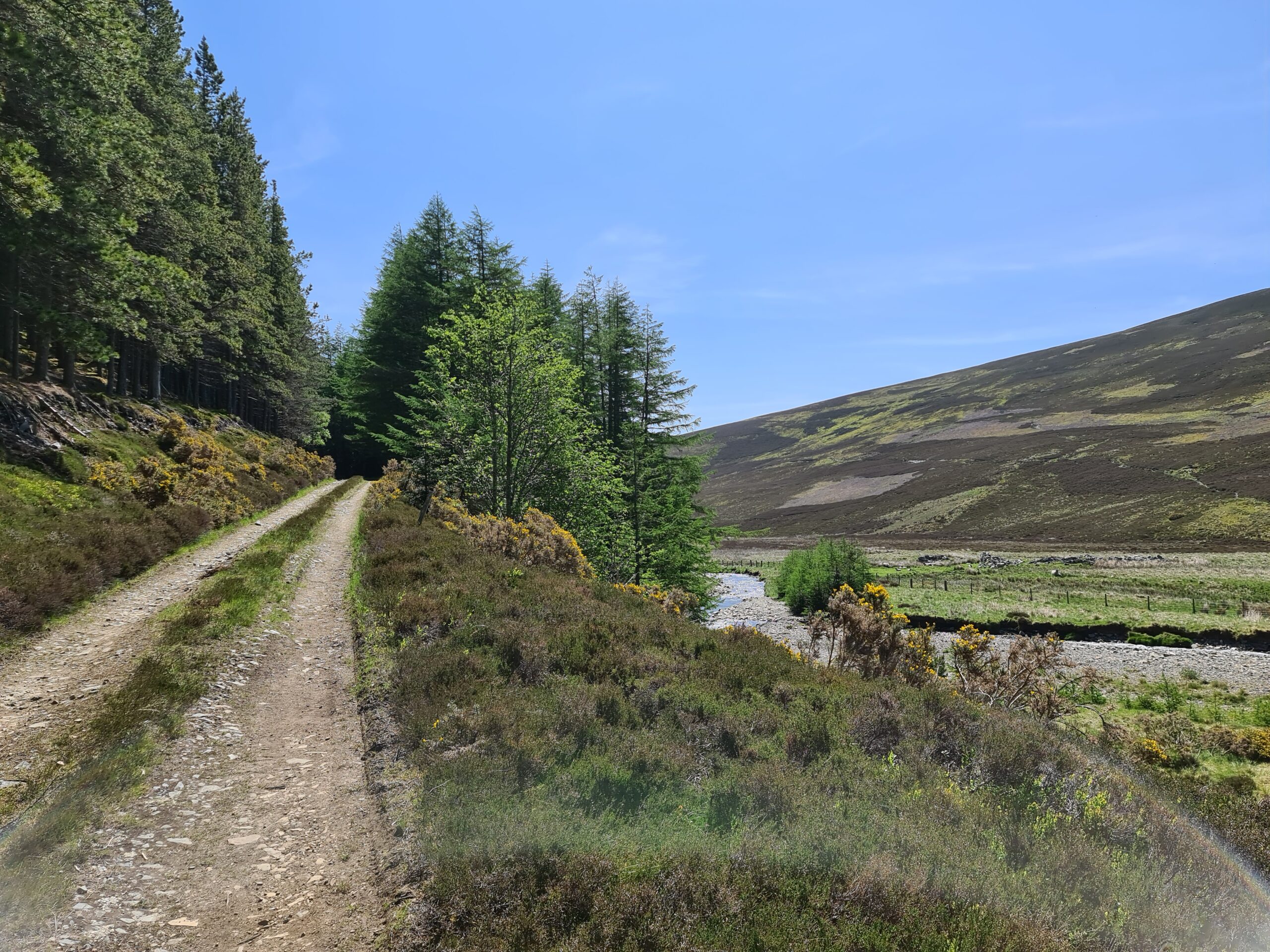
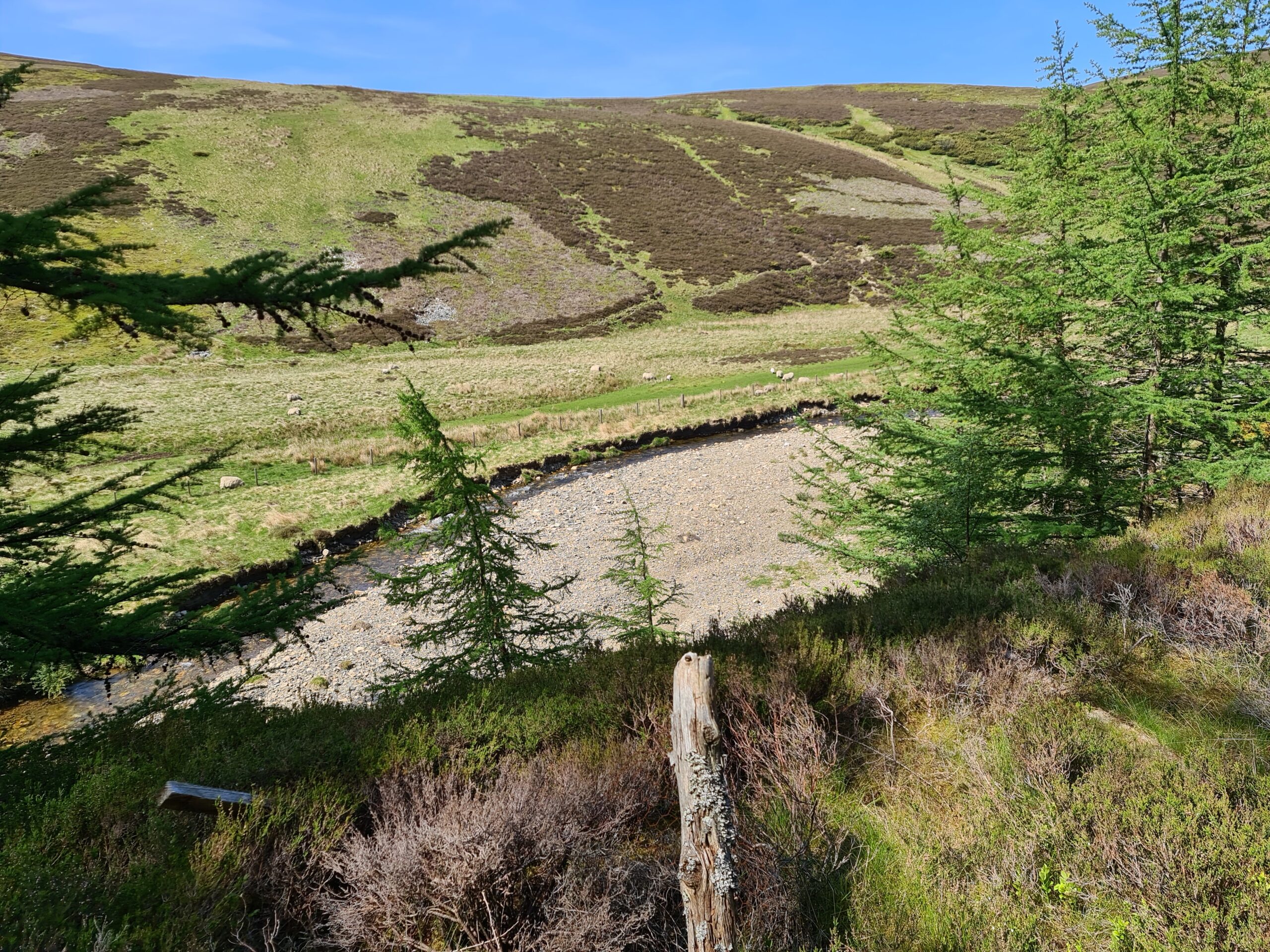
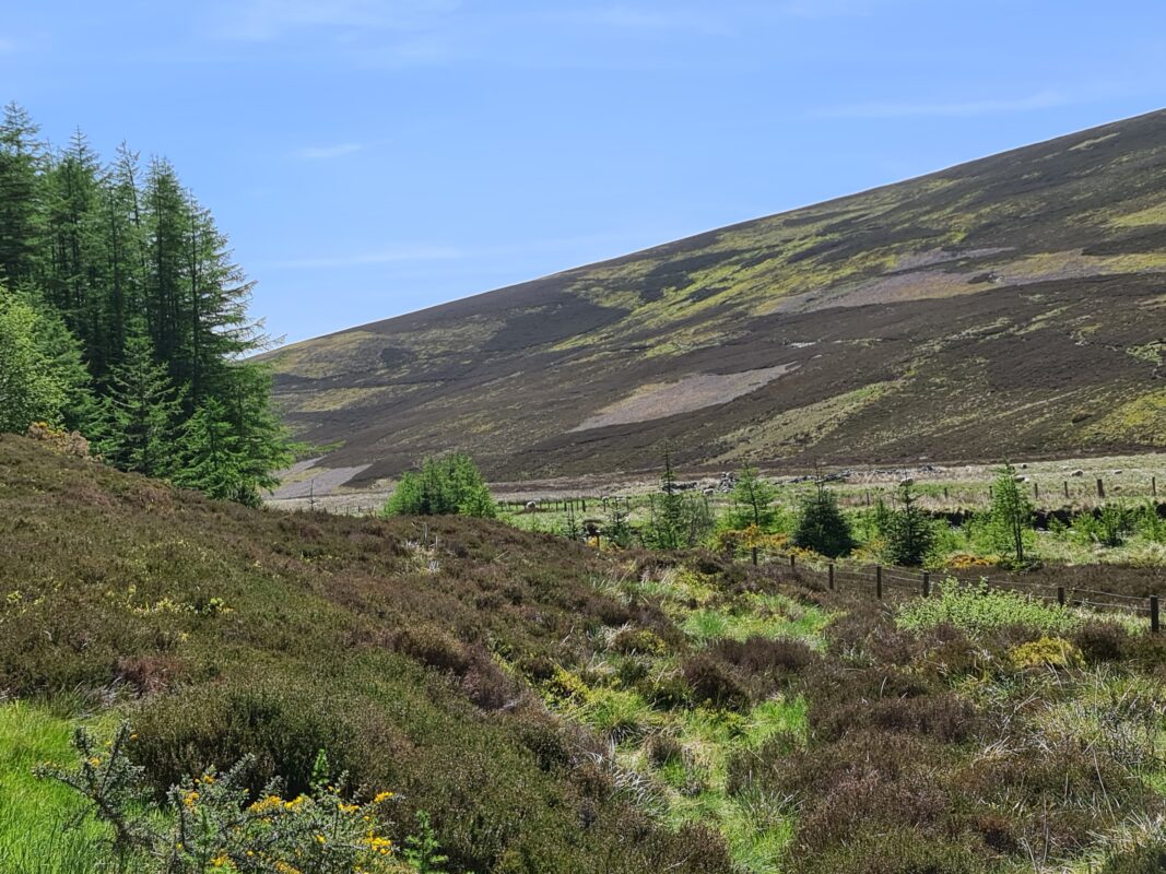
The ruined remains of Righorach sit beside the Water of Nochty . It has a very picturesque setting, and is abundant with wildlife such as golden eagles.
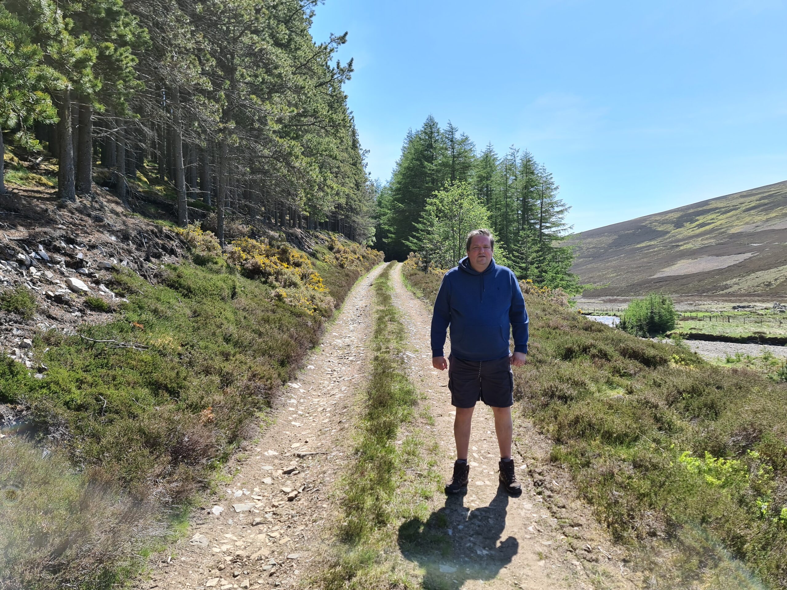
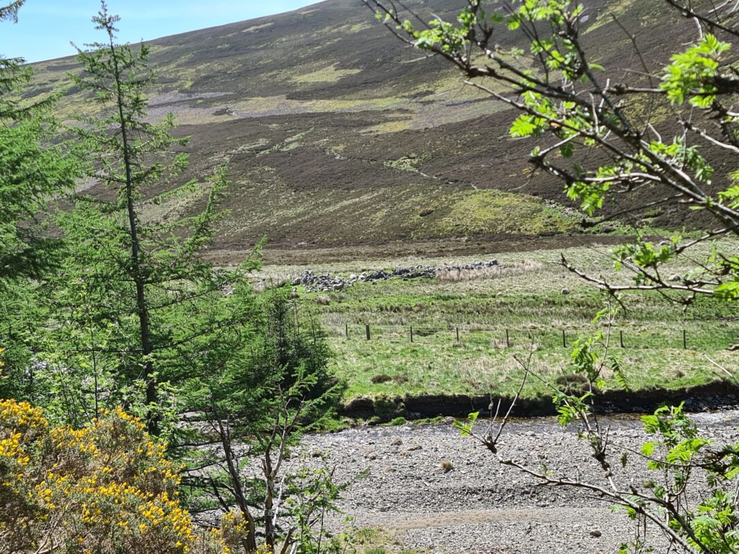
View of site
This 30 second clip should give you an idea of the sites and sounds standing looking towards the site, and hopefully give you a sense of what it is like to be there if you are unable to visit.
Righorach
Righorach front on view
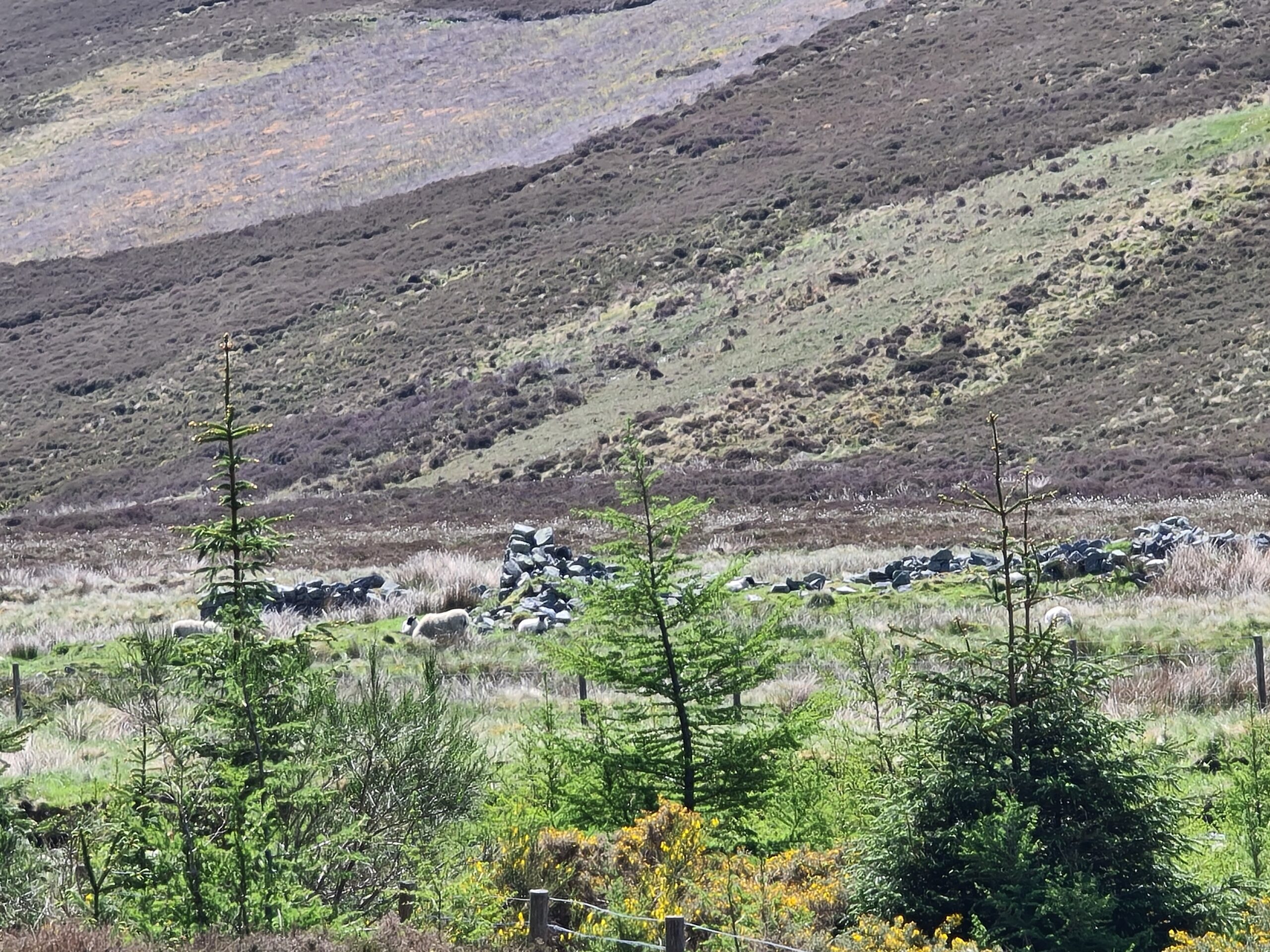
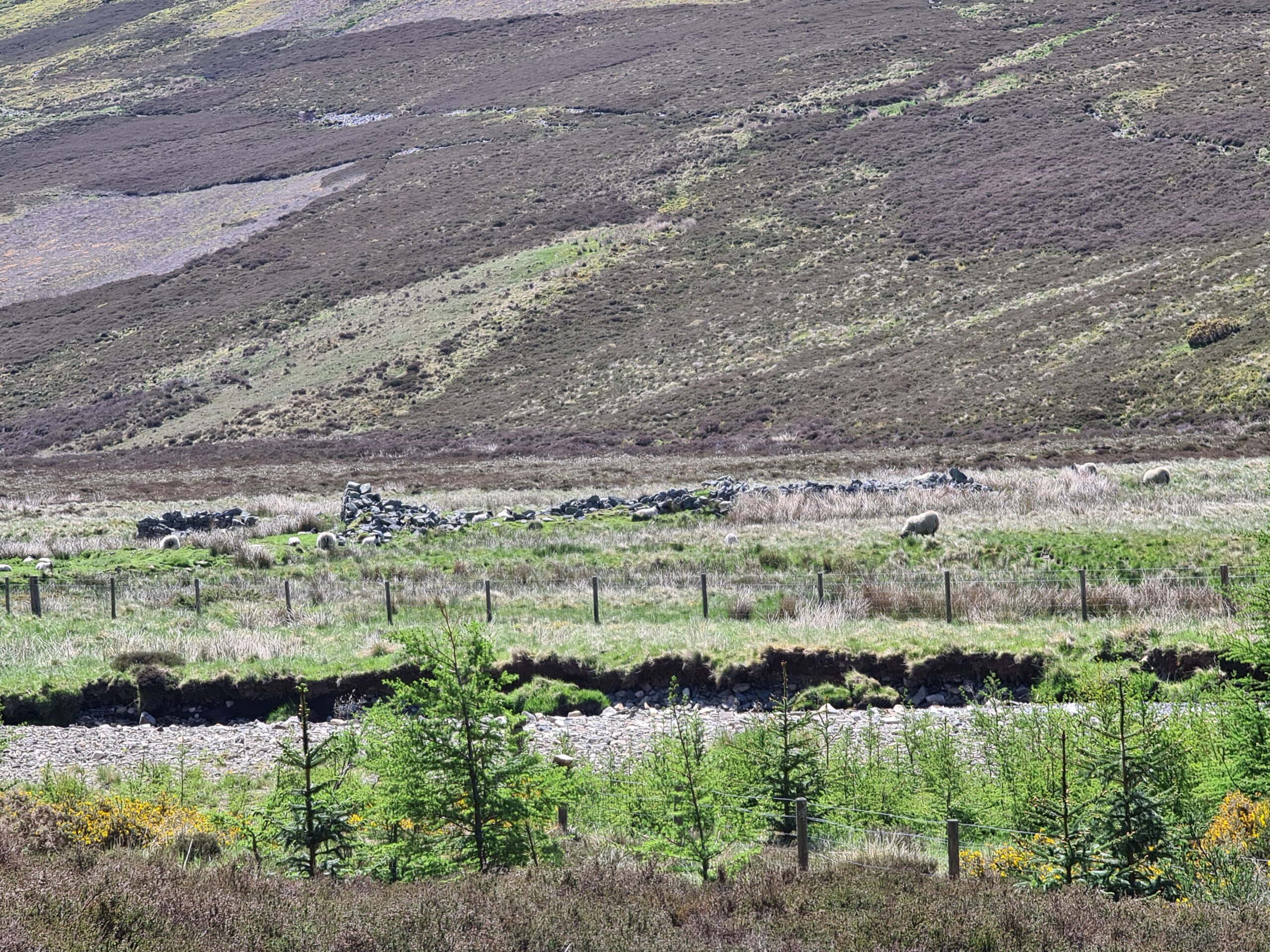
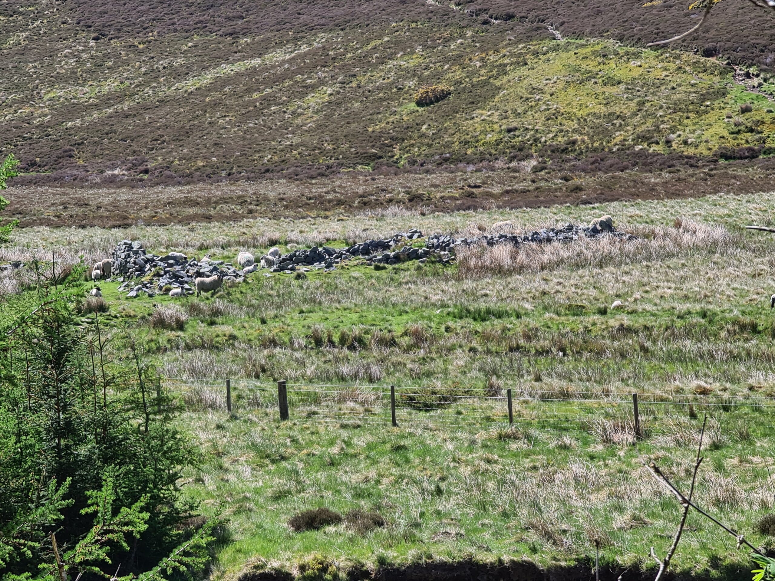
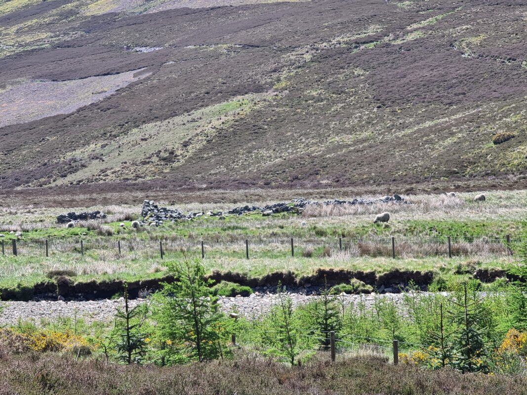
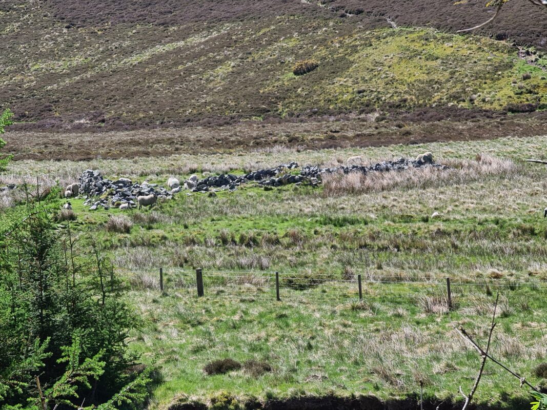
Adjacent Shieling
Meaning of name
According to ‘Place Names of West Aberdeenshire’ the name means ‘shieling of the bog’ from the Gaelic ‘ruigh chorraich’. This description does match the physical setting of the shieling. There are other interpretations, however. The Ordnance survey name book in 1865 does not give a definition for Righorach, but does state the following for the Hill Of Righorach. ‘Applies to an eminence Situated on the north face of the Dubh Breac Hill, and on the South bank of the Water of Nochty. [Note beside Hill of Righorach – Orach – Aiche, Adj. [adjective] – Abounding in gold.
Righ – A King [Gaelic]
Ruigh Odharach? Righorach? A house of this name
Ruigh chorraich sheiling of the bog? [Initialled] JMcD
Ruigh The outstretched part or lease of a mountain etc, etc
This being the outstretched part of Dubh Breac Hill
Odharaich verb as [–] [–] dun, pale or sallow. become dun pale or sallow
[ach] may be pron. derivative from odhar of a palish or Dun colour Included to be dun or a degree of dun colour, etc.
Aerial Drone footage
Aerial view of the Righorach site (4k available in settings options)
Archaeological notes from Canmore
There are two notes from Canmore.
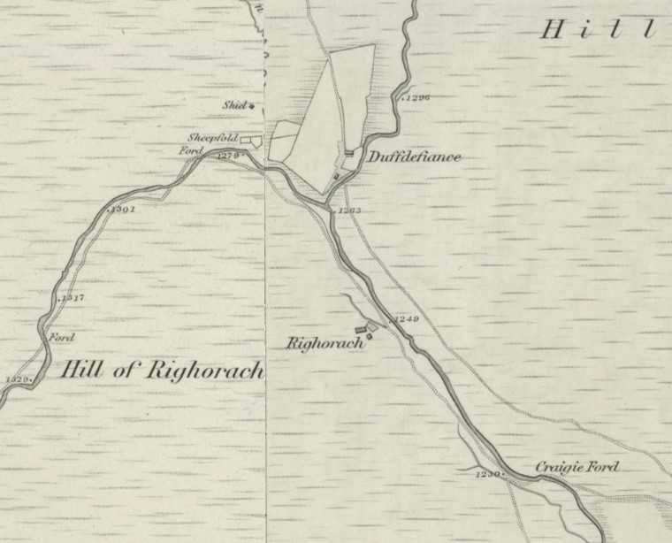
NJ 3038 1632. The remains of houses and part of an enclosure have been noted in an area of rough grazing at an altitude of about 380m OD.
NMRS, MS/712/9.
The following site has been identified while checking maps held by Grampian Regional Council. Full information is held in GRC SMR.
NJ 303 163. Remains of houses and part of an enclosure.
Sponsor: Grampian Regional Council.
M Greig 1995.
(Reclassified as farmstead). A small farmstead is situated in the centre of the floodplain on the S side of the Water of Nochty: it comprises three buildings and a garden plot.
The first building (NJ 3038 1631) is a rectangular cottage measuring about 11.9m from E to W by 4.9m transversely over coursed rubble walls 0.8m in thickness and 1.6m in height. There is a central entrance on the S, but no other domestic architectural features are visible. A byre abutting on the W measures 6.2m from E to W by 3.2m within coursed rubble walls 0.8m in thickness and 0.7m in height. It, too, has a central entrance on the S.
A garden plot lies 5m ENE of the cottage and measures 18.6m square within a stone and earth dyke 1.1m in thickness and 0.4m height. River erosion has destroyed almost the whole of the NE side of the garden wall, save for the E corner, and there is an entrance to the garden on the SW.
A rectangular two-compartmented building, probably a byre (NJ 3041 1630), is situated 4m to the SSE of the cottage. It measures 12.6m from NW to SE by 4.4m over coursed rubble walls 0.75m in thickness and 0.8m in height. The SE compartment measures 6.15m by 2.8m internally, while its better preserved counterpart to the NW measures 5.1m by 2.8m Although there are no clear traces of entrances, these probably lay on the NE side of the structure.
A well-preserved rectangular kiln-barn (NJ 3033 1633), which has been built into the foot of the E facing scarp of the valley, lies 42m WNW of the cottage. It measures 12.2m from E to W by 6.1m transversely within grass-grown banks 1.7m in thickness and 0.4m in height. There is an entrance in the S side. The bowl of the ruined rubble kiln at the W end of the structure measures 1.5m in diameter and 1.5m deep, within walls 1.3m in thickness, and the remains of a central draw-hole are visible on its E side.
The cottage and its attached byre are depicted as roofed on the 1st edition of the OS 6-inch map (Aberdeenshire, 1869, sheet lx) which also depicts the garden and a second building to the SSE. The latter, however, is portrayed upon an axis opposed to that of the detached byre there today, which was presumably built at some time between 1869 and the end of the century. With the exception of the kiln-barn, which is not shown on either the 1st or 2nd edition maps, all the surviving buildings were unroofed in 1903 (OS 6-inch map, Aberdeenshire, 2nd edition, 1903, sheet lx).
Visited by RCAHMS (ATW, IWF), 4 July 1997
Hill of Righorach (on slope of hill behind ruins of Righorach steading)
A string of three subrectangular turf- and stone-built huts are situated at the NE end of a ruinous drystone wall, above the crest of a river-cliff and overlooking the floodplain of the Water of Nochty to the NE.
NJ 3021 1651. The southwesternmost hut measures about 6.3m from NE to SW by 3.3m transversely over heather-grown wall-footings 0.8m in thickness and 0.3m in height; there is a central entrance on the SE, and at the NE end there are the remains of a degraded outshot measuring 2.7m in length and 1.6m in breadth internally.
NJ 3022 1652. The second hut is situated immediately to the NE of the first and measures about 11.2m from NE to SW by 4m transversely over heather-grown wall-footings 1m in thickness and 0.4m in height. There is a possible entrance on the SE situated 1.9m from the NE corner.
NJ 3022 1652. The third hut lies immediately NE of the second and measures about 6.8m from NE to SW by 3.7m transversely within heather-grown wall-footings 0.9m in thickness and 0.4m in height; there is a central entrance on the SE.
Visited by RCAHMS (ATW, IWF), 4 July 1997.
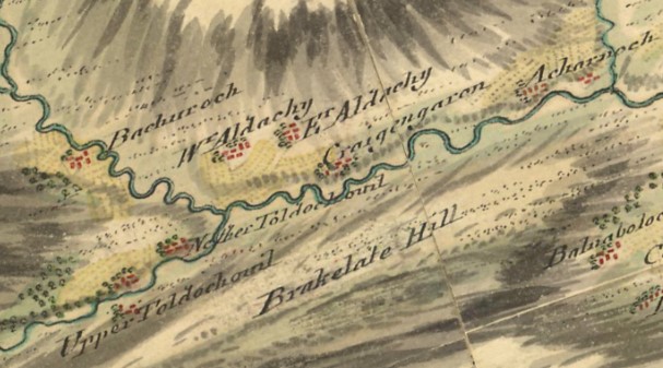
1747 – Roys Military Map
Roys Military map mentions Righorach as ‘Bachuroch’. It is unclear why.
1841 – Census
The 1841 census states the following individuals as resident in Righorach
- Donald Grant -30 – Ag Lab – Born in Scotland
- James McRobert – 30 – Ag Lab – Born in Scotland
1843 – Map
Righorach is featured on the first OS map.
1851 – Census
The 1851 census states the following individuals as resident in Righorach :
- Ewen Cameron – 30 – Head – Ag Lab – POB Duthal, Morayshire
- Ann Cameron – 29 – Wife – POB Inveravon, Banffshire
1861 – Census
The 1861 census has no listing for Righorach
1871 – Census
The 1871 census states that Righorach is uninhabited (U).
1881 – Census
The 1851 census states the following individuals as resident in Righorach. Note there is a (g) noted for both John and Jane after place of birth which I think was an early attempt to record whether they were Gaelic speakers or not ahead of the 1891 census :
- John Thain – 71 – Head (unmarried) – Farmer of 7 acres arable – POB Kirkmichael, Banffshire
- Jane Taylor – 41 (married) – Niece – Shepherd’s Wife – POB Aberdeenshire
- Margaret Taylor – Grandniece – Scholar – POB Strathdon
- James Taylor – Grand nephew – Scholar – POB Strathdon
- Eliza Taylor – Grandniece – Scholar – POB Strathdon
- John Taylor – Grand nephew – Scholar – POB Strathdon
1891 – Census
The 1891 census has no listing for Righorach
1901 – Census
The 1901 census has no listing for Righorach
1911 – Census
The 1911 census has no listing for Righorach
1921 – Census
The 1921 census has no listing for Righorach
1899 – Newspaper Article
A fascinating story is given about a woman I stongly believe from description given to have stayed at the Shieling of Righorach called Baubie Bàn (White-haired Barbara). It dates from the time of Malcolm Gillespie (therefore probably early 1820s) and concerns how she outwitted him when helping a fellow Glensman smuggle whisky by hiding the ankers (barrels) in the Nochty. It also confirms Baubie as a Gaelic speaker.